
Russellville topographic map
Interactive map
Click on the map to display elevation.
About this map
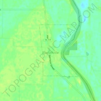
Name: Russellville topographic map, elevation, terrain.
Location: Russellville, Lawrence County, Illinois, United States (38.81254 -87.53556 38.82641 -87.52216)
Average elevation: 427 ft
Minimum elevation: 397 ft
Maximum elevation: 449 ft