
Stryn topographic map
Interactive map
Click on the map to display elevation.
About this map
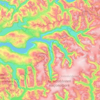
Name: Stryn topographic map, elevation, terrain.
Location: Stryn, Vestland, Norway (61.60948 6.25665 62.03409 7.41412)
Average elevation: 2,894 ft
Minimum elevation: 0 ft
Maximum elevation: 6,703 ft
Other topographic maps
Click on a map to view its topography, its elevation and its terrain.
Vinjane
Norway > Vestland > Aurlandsvangen
Vinjane, Aurlandsvangen, Aurland, Vestland, 5745, Norway
Average elevation: 758 ft
Strandebarm
Strandebarm, Kvam herad, Vestland, 5630, Norway
Average elevation: 594 ft