
Indian Lake County Park topographic map
Interactive map
Click on the map to display elevation.
About this map
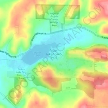
Name: Indian Lake County Park topographic map, elevation, terrain.
Average elevation: 1,037 ft
Minimum elevation: 899 ft
Maximum elevation: 1,204 ft
Other topographic maps
Click on a map to view its topography, its elevation and its terrain.
Marxville
United States > Wisconsin > Dane County > Town of Berry
Marxville, Town of Berry, Dane County, Wisconsin, United States
Average elevation: 984 ft