
Troll tongue topographic map
Interactive map
Click on the map to display elevation.
About this map
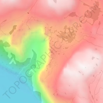
Name: Troll tongue topographic map, elevation, terrain.
Location: Troll tongue, Ullensvang, Vestland, Norway (60.13290 6.75399 60.13300 6.75409)
Average elevation: 3,579 ft
Minimum elevation: 1,467 ft
Maximum elevation: 4,820 ft
Other topographic maps
Click on a map to view its topography, its elevation and its terrain.
Vinjane
Norway > Vestland > Aurlandsvangen
Vinjane, Aurlandsvangen, Aurland, Vestland, 5745, Norway
Average elevation: 758 ft
Strandebarm
Strandebarm, Kvam herad, Vestland, 5630, Norway
Average elevation: 594 ft