
Grand Ronde topographic map
Interactive map
Click on the map to display elevation.
About this map
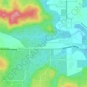
Name: Grand Ronde topographic map, elevation, terrain.
Location: Grand Ronde, Polk County, Oregon, United States (45.05595 -123.64434 45.06455 -123.60214)
Average elevation: 433 ft
Minimum elevation: 295 ft
Maximum elevation: 791 ft