
Lake Norman State Park topographic map
Interactive map
Click on the map to display elevation.
About this map
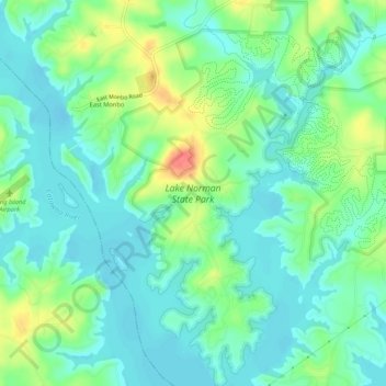
Name: Lake Norman State Park topographic map, elevation, terrain.
Average elevation: 810 ft
Minimum elevation: 751 ft
Maximum elevation: 945 ft
Other topographic maps
Click on a map to view its topography, its elevation and its terrain.
Barium Springs
United States > North Carolina > Iredell County > Troutman
Barium Springs, Troutman, Iredell County, North Carolina, 28010, United States
Average elevation: 912 ft