
Preston-Potter Hollow topographic map
Interactive map
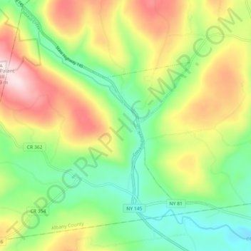
Click on the map to display elevation.
About this map
Name: Preston-Potter Hollow topographic map, elevation, terrain.
Average elevation: 1,217 ft
Minimum elevation: 643 ft
Maximum elevation: 2,054 ft
It is also the topographical location of Potter Hollow.
Other topographic maps
Click on a map to view its topography, its elevation and its terrain.
Potter Hollow
United States > New York > Albany County > Town of Rensselaerville
Potter Hollow, Preston-Potter Hollow, Town of Rensselaerville, Albany County, New York, 12469, United States
Average elevation: 1,135 ft
Cooksburg
United States > New York > Albany County > Town of Rensselaerville
Cooksburg, Preston-Potter Hollow, Town of Rensselaerville, Albany County, New York, 12422, United States
Average elevation: 1,089 ft
Medusa
United States > New York > Albany County > Town of Rensselaerville
Medusa, Town of Rensselaerville, Albany County, New York, 12120, United States
Average elevation: 974 ft