
Napa Soda Springs topographic map
Interactive map
Click on the map to display elevation.
About this map
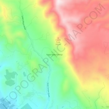
Name: Napa Soda Springs topographic map, elevation, terrain.
Location: Napa Soda Springs, Napa County, California, United States (38.37075 -122.29942 38.41075 -122.25942)
Average elevation: 899 ft
Minimum elevation: 36 ft
Maximum elevation: 1,919 ft