
Hunga Tonga topographic map
Interactive map
Click on the map to display elevation.
About this map
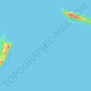
Name: Hunga Tonga topographic map, elevation, terrain.
Location: Hunga Tonga, Haʻapai, Tonga (-20.54505 -175.39075 -20.54495 -175.39065)
Average elevation: 13 ft
Minimum elevation: -23 ft
Maximum elevation: 443 ft
Other topographic maps
Click on a map to view its topography, its elevation and its terrain.
Ha'ateiho Si'i
Ha'ateiho Si'i, Faleloa, Vahe Foa, Haʻapai, Tonga
Average elevation: 26 ft
Niu a Kalo
Niu a Kalo, Pangai, Vahe Lifuka, Haʻapai, Tonga
Average elevation: 7 ft