
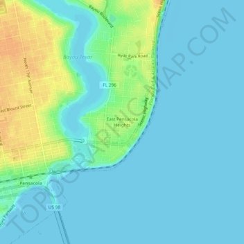
East Pensacola Heights topographic map
Interactive map
Click on the map to display elevation.
About this map
Name: East Pensacola Heights topographic map, elevation, terrain.
Average elevation: 26 ft
Minimum elevation: -3 ft
Maximum elevation: 102 ft
Other topographic maps
Click on a map to view its topography, its elevation and its terrain.
Bohemia
United States > Florida > Escambia County > Pensacola
Bohemia, Pensacola, Escambia County, Florida, 32504, United States
Average elevation: 49 ft
Pensacola
United States > Florida > Escambia County > Pensacola
Pensacola, Escambia County, Florida, 32501, United States
Average elevation: 30 ft
Gull Point
United States > Florida > Escambia County > Pensacola > Gull Point
Gull Point, Pensacola, Escambia County, Florida, 32504, United States
Average elevation: 33 ft
West Pensacola
United States > Florida > Escambia County > Pensacola
West Pensacola, Pensacola, Escambia County, Florida, United States
Average elevation: 66 ft