
Ozone topographic map
Interactive map
Click on the map to display elevation.
About this map
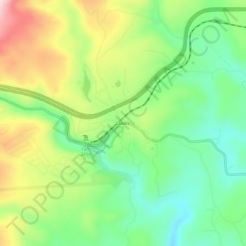
Name: Ozone topographic map, elevation, terrain.
Location: Ozone, Cumberland County, Tennessee, United States (35.86202 -84.82911 35.90202 -84.78911)
Average elevation: 1,647 ft
Minimum elevation: 1,250 ft
Maximum elevation: 2,264 ft