
Plymouth Park topographic map
Interactive map
Click on the map to display elevation.
About this map
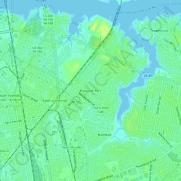
Name: Plymouth Park topographic map, elevation, terrain.
Location: Plymouth Park, Chesapeake, Virginia, 23325, United States (36.79959 -76.27133 36.83959 -76.23133)
Average elevation: 20 ft
Minimum elevation: -7 ft
Maximum elevation: 52 ft