Cypress Creek topographic map
Click on the map to display elevation.
About this map
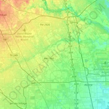
Name: Cypress Creek topographic map, elevation, terrain.
Location: Cypress Creek, Houston, Harris County, Texas, United States (29.96566 -95.60724 30.04044 -95.31033)
Average elevation: 115 ft
Minimum elevation: 59 ft
Maximum elevation: 213 ft
Other topographic maps
Click on a map to view its topography, its elevation and its terrain.