
Hella topographic map
Interactive map
Click on the map to display elevation.
About this map
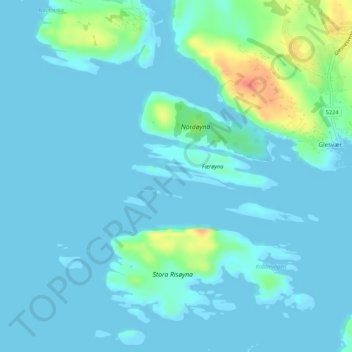
Name: Hella topographic map, elevation, terrain.
Location: Hella, Øygarden, Vestland, Norway (60.20133 5.00961 60.20305 5.02435)
Average elevation: 26 ft
Minimum elevation: 0 ft
Maximum elevation: 167 ft
Other topographic maps
Click on a map to view its topography, its elevation and its terrain.
Vinjane
Norway > Vestland > Aurlandsvangen
Vinjane, Aurlandsvangen, Aurland, Vestland, 5745, Norway
Average elevation: 758 ft
Strandebarm
Strandebarm, Kvam herad, Vestland, 5630, Norway
Average elevation: 594 ft