
Make a donation
Gear up for your next adventure:
As an Amazon Associate, this site earns from qualifying purchases at no extra cost to you.
Bantiger topographic map
Click on the map to display elevation.
Make a donation
Gear up for your next adventure:
As an Amazon Associate, this site earns from qualifying purchases at no extra cost to you.
Bantiger
Der Bantiger ist ein Berg (947 m ü. M.) im Kanton Bern in der Schweiz. Der Gipfel liegt auf dem Gebiet der Gemeinde Bolligen. Vom Bantiger – fast hundert Meter höher als der Berner Hausberg Gurten – hat man ein Rundumpanorama mit Sicht auf die Berner Alpen und den Jura.
Make a donation
Gear up for your next adventure:
As an Amazon Associate, this site earns from qualifying purchases at no extra cost to you.
About this map
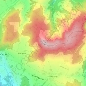
Name: Bantiger topographic map, elevation, terrain.
Average elevation: 2,507 ft
Minimum elevation: 1,841 ft
Maximum elevation: 3,094 ft
Make a donation
Gear up for your next adventure:
As an Amazon Associate, this site earns from qualifying purchases at no extra cost to you.