
Battle of Blackburn's Ford (1861) topographic map
Interactive map
Click on the map to display elevation.
About this map
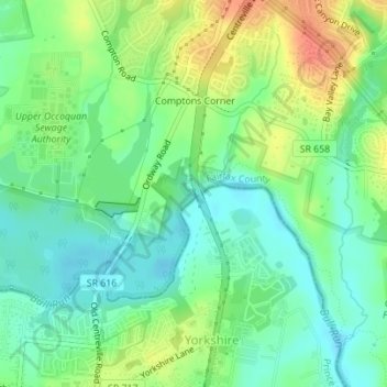
Name: Battle of Blackburn's Ford (1861) topographic map, elevation, terrain.
Average elevation: 197 ft
Minimum elevation: 135 ft
Maximum elevation: 299 ft