
Ratigan Lake topographic map
Interactive map
Click on the map to display elevation.
About this map
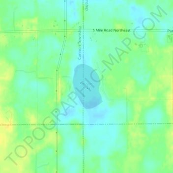
Name: Ratigan Lake topographic map, elevation, terrain.
Average elevation: 853 ft
Minimum elevation: 820 ft
Maximum elevation: 896 ft
Other topographic maps
Click on a map to view its topography, its elevation and its terrain.
Cannonsburg
United States > Michigan > Kent County > Cannon Township
Cannonsburg, Cannon Township, Kent County, Michigan, 49317, United States
Average elevation: 840 ft