
Haukland Beach topographic map
Interactive map
Click on the map to display elevation.
About this map
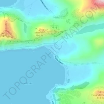
Name: Haukland Beach topographic map, elevation, terrain.
Location: Haukland Beach, Sjøbakken, Vestvågøy, Nordland, Norway (68.19630 13.52281 68.19966 13.53147)
Average elevation: 338 ft
Minimum elevation: 0 ft
Maximum elevation: 2,251 ft
Other topographic maps
Click on a map to view its topography, its elevation and its terrain.
Ballangen - Bálák
Ballangen - Bálák, Narvik, Nordland, Norway
Average elevation: 299 ft
Sulitjelma - Sulisjielmmá
Sulitjelma - Sulisjielmmá, Fauske, Nordland, Norway
Average elevation: 1,243 ft