
Lincoln Village topographic map
Interactive map
Click on the map to display elevation.
About this map
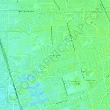
Name: Lincoln Village topographic map, elevation, terrain.
Average elevation: 20 ft
Minimum elevation: -7 ft
Maximum elevation: 30 ft
Other topographic maps
Click on a map to view its topography, its elevation and its terrain.
The Homestead
United States > California > San Joaquin County > Stockton > The Homestead
The Homestead, Stockton, San Joaquin County, California, 95206, United States
Average elevation: 20 ft