
Winnebago Lake Dam topographic map
Interactive map
Click on the map to display elevation.
About this map
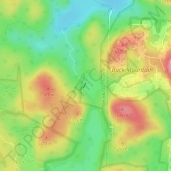
Name: Winnebago Lake Dam topographic map, elevation, terrain.
Average elevation: 906 ft
Minimum elevation: 732 ft
Maximum elevation: 1,102 ft
Other topographic maps
Click on a map to view its topography, its elevation and its terrain.
Green Pond
United States > New Jersey > Rockaway Township > Green Pond
Green Pond, Rockaway Township, Morris County, New Jersey, 07435, United States
Average elevation: 981 ft