
Spring Valley topographic map
Interactive map
Click on the map to display elevation.
About this map
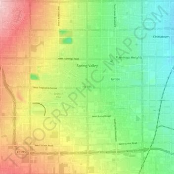
Name: Spring Valley topographic map, elevation, terrain.
Location: Spring Valley, Clark County, Nevada, United States (36.05553 -115.31548 36.14453 -115.20787)
Average elevation: 2,415 ft
Minimum elevation: 2,142 ft
Maximum elevation: 2,799 ft