
Make a donation
Gear up for your next adventure:
As an Amazon Associate, this site earns from qualifying purchases at no extra cost to you.
Yuen Long District topographic map
Click on the map to display elevation.
Make a donation
Gear up for your next adventure:
As an Amazon Associate, this site earns from qualifying purchases at no extra cost to you.
About this map
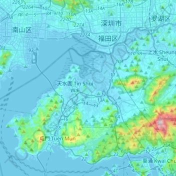
Name: Yuen Long District topographic map, elevation, terrain.
Location: Yuen Long District, New Territories, Hong Kong, China (22.39122 113.87423 22.52317 114.12790)
Average elevation: 217 ft
Minimum elevation: -36 ft
Maximum elevation: 3,110 ft
Make a donation
Gear up for your next adventure:
As an Amazon Associate, this site earns from qualifying purchases at no extra cost to you.
Other topographic maps
Click on a map to view its topography, its elevation and its terrain.
Lantau Peak
China > Hong Kong > Islands District
Lantau Peak is located in central Lantau Island, with an elevation of 934 meters above sea level (23 metres shorter than Tai Mo Shan, Hong Kong's highest peak). Under the Köppen climate classification, Lantau Peak features a subtropical highland climate. Due to its elevation, strong winds and fog occur…
Average elevation: 1,385 ft
River Ganges (Ping Yuen River)
China > Hong Kong > North District > Ping Che > Ping Che Yuen Ha
Average elevation: 75 ft
Tsing Tam Lower Reservoir
China > Hong Kong > Yuen Long District > Lin Fa Tei > Cheung Po
Average elevation: 502 ft
Make a donation
Gear up for your next adventure:
As an Amazon Associate, this site earns from qualifying purchases at no extra cost to you.
Tai Shui Hang Village
China > Hong Kong > Sha Tin District > Tai Shui Hang Village
Average elevation: 367 ft