
Salladasburg topographic map
Interactive map
Click on the map to display elevation.
About this map
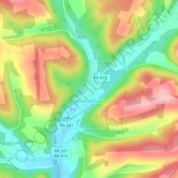
Name: Salladasburg topographic map, elevation, terrain.
Location: Salladasburg, Lycoming County, Pennsylvania, United States (41.27086 -77.23676 41.28728 -77.21833)
Average elevation: 873 ft
Minimum elevation: 617 ft
Maximum elevation: 1,158 ft