
North Platte topographic map
Interactive map
Click on the map to display elevation.
About this map
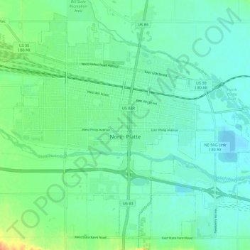
Name: North Platte topographic map, elevation, terrain.
Average elevation: 2,808 ft
Minimum elevation: 2,772 ft
Maximum elevation: 2,910 ft
Other topographic maps
Click on a map to view its topography, its elevation and its terrain.
Sutherland
United States > Nebraska > Lincoln County > Sutherland
Sutherland, Lincoln County, Nebraska, United States
Average elevation: 2,986 ft