
Amsterdam topographic map
Interactive map
Click on the map to display elevation.
About this map
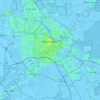
Name: Amsterdam topographic map, elevation, terrain.
Location: Amsterdam, North Holland, Netherlands, The Netherlands (52.27817 4.72876 52.43106 5.07916)
Average elevation: 0 ft
Minimum elevation: -26 ft
Maximum elevation: 59 ft
Other topographic maps
Click on a map to view its topography, its elevation and its terrain.
Sloterplas
The Netherlands > North Holland > Amsterdam
Sloterplas, Osdorpplein, Amsterdam, North Holland, Netherlands, 1068 EN, The Netherlands
Average elevation: 7 ft