
Kuma County topographic map
Interactive map
Click on the map to display elevation.
About this map
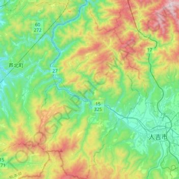
Name: Kuma County topographic map, elevation, terrain.
Location: Kuma, Kuma County, Kumamoto Prefecture, Japan (32.15126 130.57940 32.37863 130.73432)
Average elevation: 1,358 ft
Minimum elevation: 43 ft
Maximum elevation: 4,167 ft