
Melayu topographic map
Interactive map
Click on the map to display elevation.
About this map
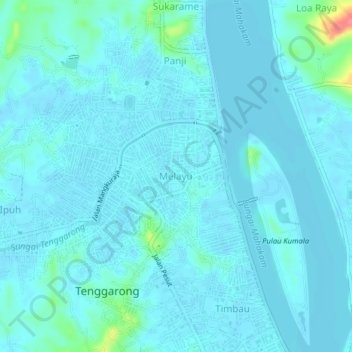
Name: Melayu topographic map, elevation, terrain.
Location: Melayu, East Kalimantan, 75513, Indonesia (-0.44042 116.96630 -0.40042 117.00630)
Average elevation: 26 ft
Minimum elevation: -16 ft
Maximum elevation: 246 ft