
Las Minas topographic map
Interactive map
Click on the map to display elevation.
About this map
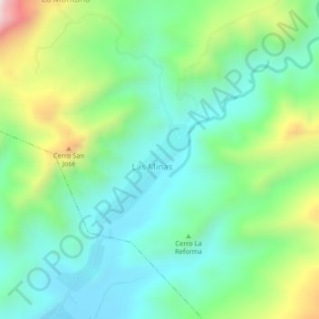
Name: Las Minas topographic map, elevation, terrain.
Location: Las Minas, Distrito Bolívar, Estado Anzoátegui, Venezuela (10.02077 -64.35844 10.06077 -64.31844)
Average elevation: 1,621 ft
Minimum elevation: 853 ft
Maximum elevation: 3,481 ft