
Tangi topographic map
Interactive map
Click on the map to display elevation.
About this map
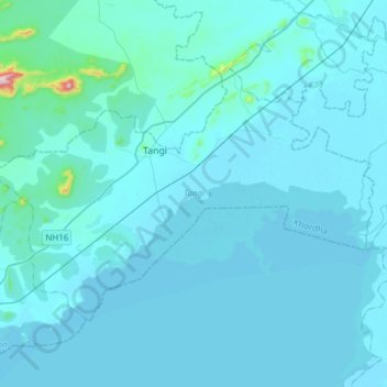
Name: Tangi topographic map, elevation, terrain.
Location: Tangi, Khordha, Odisha, India (19.79990 85.26697 19.98837 85.57208)
Average elevation: 75 ft
Minimum elevation: 0 ft
Maximum elevation: 1,988 ft
Other topographic maps
Click on a map to view its topography, its elevation and its terrain.