
Hartford City topographic map
Interactive map
Click on the map to display elevation.
About this map
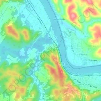
Name: Hartford City topographic map, elevation, terrain.
Location: Hartford City, Mason County, West Virginia, USA (38.98033 -82.00182 39.01766 -81.98094)
Average elevation: 656 ft
Minimum elevation: 548 ft
Maximum elevation: 896 ft