
Essex topographic map
Interactive map
Click on the map to display elevation.
About this map
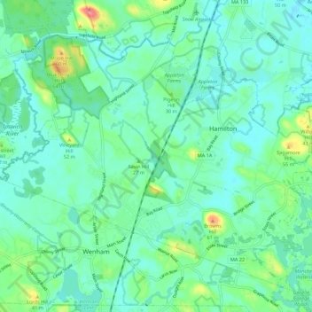
Name: Essex topographic map, elevation, terrain.
Location: Essex, Essex County, Massachusetts, 01936, USA (42.58914 -70.90649 42.66914 -70.82649)
Average elevation: 59 ft
Minimum elevation: 0 ft
Maximum elevation: 269 ft