
Wasur topographic map
Interactive map
Click on the map to display elevation.
About this map
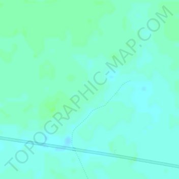
Name: Wasur topographic map, elevation, terrain.
Location: Wasur, Merauke, Papua, Indonesia (-8.51923 140.63990 -8.49923 140.65990)
Average elevation: 39 ft
Minimum elevation: 26 ft
Maximum elevation: 52 ft