
Gats topographic map
Interactive map
Click on the map to display elevation.
About this map
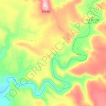
Name: Gats topographic map, elevation, terrain.
Average elevation: 4,370 ft
Minimum elevation: 3,671 ft
Maximum elevation: 5,154 ft
Other topographic maps
Click on a map to view its topography, its elevation and its terrain.
Bloemhof Dam
South Africa > Eastern Cape > Camdeboo Local Municipality
Bloemhof Dam, Camdeboo Ward 7, Camdeboo Local Municipality, Sarah Baartman District Municipality, Eastern Cape, South Africa
Average elevation: 3,780 ft