
Vantimamidi topographic map
Interactive map
Click on the map to display elevation.
About this map
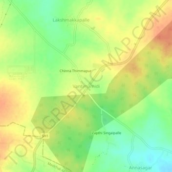
Name: Vantimamidi topographic map, elevation, terrain.
Location: Vantimamidi, Mulug mandal, Siddipet, Telangana, 501401, India (17.68534 78.59049 17.72534 78.63049)
Average elevation: 1,932 ft
Minimum elevation: 1,850 ft
Maximum elevation: 2,001 ft