
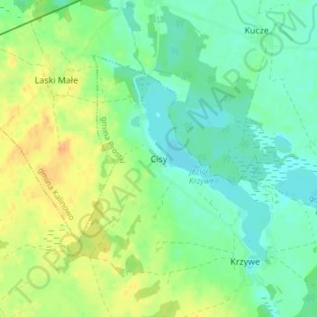
Seeheim topographic map
Interactive map
Click on the map to display elevation.
About this map
Name: Seeheim topographic map, elevation, terrain.
Average elevation: 420 ft
Minimum elevation: 377 ft
Maximum elevation: 479 ft
Other topographic maps
Click on a map to view its topography, its elevation and its terrain.
Auersberg
Polen > Woiwodschaft Ermland-Masuren > powiat ełcki
Auersberg, Gemeinde Dreimühlen, powiat ełcki, Woiwodschaft Ermland-Masuren, 19-311, Polen
Average elevation: 551 ft
Lyck
Polen > Woiwodschaft Ermland-Masuren > powiat ełcki > Lyck
Lyck, powiat ełcki, Woiwodschaft Ermland-Masuren, 19-300, Polen
Average elevation: 423 ft
Maschen
Polen > Woiwodschaft Ermland-Masuren > powiat ełcki
Maschen, Gemeinde Dreimühlen, powiat ełcki, Woiwodschaft Ermland-Masuren, 19-311, Polen
Average elevation: 545 ft