
Chityal topographic map
Interactive map
Click on the map to display elevation.
About this map
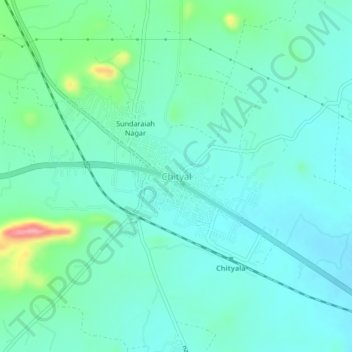
Name: Chityal topographic map, elevation, terrain.
Location: Chityal, Chityal mandal, Nalgonda, Telangana, 508114, India (17.21146 79.10935 17.25146 79.14935)
Average elevation: 1,047 ft
Minimum elevation: 968 ft
Maximum elevation: 1,365 ft
Other topographic maps
Click on a map to view its topography, its elevation and its terrain.