
San Pedro Totoltepec topographic map
Interactive map
Click on the map to display elevation.
About this map
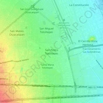
Name: San Pedro Totoltepec topographic map, elevation, terrain.
Location: San Pedro Totoltepec, Toluca, State of Mexico, 50220, Mexico (19.27344 -99.61553 19.35344 -99.53553)
Average elevation: 8,494 ft
Minimum elevation: 8,428 ft
Maximum elevation: 8,635 ft