
Bhilad topographic map
Interactive map
Click on the map to display elevation.
About this map
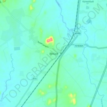
Name: Bhilad topographic map, elevation, terrain.
Location: Bhilad, Umbergaon Taluka, Valsad, Gujarat, India (20.23539 72.84140 20.31539 72.92140)
Average elevation: 108 ft
Minimum elevation: 46 ft
Maximum elevation: 512 ft