
Oum el Assel topographic map
Interactive map
Click on the map to display elevation.
About this map
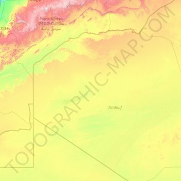
Name: Oum el Assel topographic map, elevation, terrain.
Location: Oum el Assel, Tinduf Disctrict, Tinduf, Algeria (26.40499 -8.30310 29.60791 -2.98025)
Average elevation: 1,709 ft
Minimum elevation: 0 ft
Maximum elevation: 8,114 ft