
Walden Farms topographic map
Interactive map
Click on the map to display elevation.
About this map
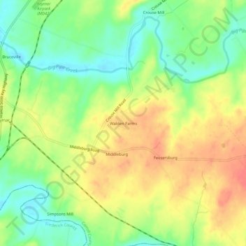
Name: Walden Farms topographic map, elevation, terrain.
Location: Walden Farms, Carroll County, Maryland, USA (39.57899 -77.23137 39.61899 -77.19137)
Average elevation: 446 ft
Minimum elevation: 351 ft
Maximum elevation: 541 ft