
Khamyab topographic map
Interactive map
Click on the map to display elevation.
About this map
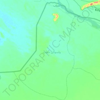
Name: Khamyab topographic map, elevation, terrain.
Location: Khamyab, Jowzjan, Afghanistan (37.11224 65.43051 37.55085 65.86429)
Average elevation: 866 ft
Minimum elevation: 810 ft
Maximum elevation: 1,335 ft
Other topographic maps
Click on a map to view its topography, its elevation and its terrain.