
Whareama topographic map
Interactive map
Click on the map to display elevation.
About this map
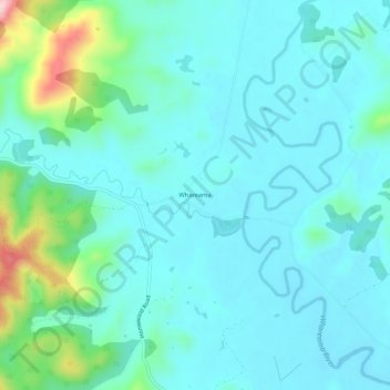
Name: Whareama topographic map, elevation, terrain.
Location: Whareama, Masterton District, Wellington, New Zealand (-40.97765 176.01606 -40.93765 176.05606)
Average elevation: 154 ft
Minimum elevation: 16 ft
Maximum elevation: 817 ft