
Kumbungu topographic map
Interactive map
Click on the map to display elevation.
About this map
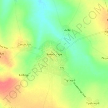
Name: Kumbungu topographic map, elevation, terrain.
Location: Kumbungu, Northern Region, Ghana (9.51918 -0.98671 9.59918 -0.90671)
Average elevation: 463 ft
Minimum elevation: 381 ft
Maximum elevation: 558 ft