
Hellendoorn topographic map
Interactive map
Click on the map to display elevation.
About this map
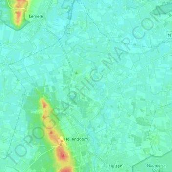
Name: Hellendoorn topographic map, elevation, terrain.
Location: Hellendoorn, Overijssel, Netherlands (52.37310 6.39032 52.46170 6.51308)
Average elevation: 33 ft
Minimum elevation: 10 ft
Maximum elevation: 167 ft