
Westvoorne topographic map
Interactive map
Click on the map to display elevation.
About this map
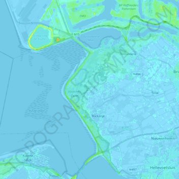
Name: Westvoorne topographic map, elevation, terrain.
Location: Westvoorne, South Holland, Netherlands (51.84211 3.95558 51.93614 4.16035)
Average elevation: 3 ft
Minimum elevation: -20 ft
Maximum elevation: 92 ft