
Bagdogra topographic map
Interactive map
Click on the map to display elevation.
About this map
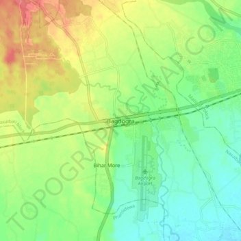
Name: Bagdogra topographic map, elevation, terrain.
Location: Bagdogra, Darjiling, Darjeeling, West Bengal, India (26.65888 88.28003 26.73888 88.36003)
Average elevation: 446 ft
Minimum elevation: 361 ft
Maximum elevation: 571 ft