
Batha topographic map
Interactive map
Click on the map to display elevation.
About this map
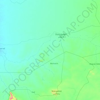
Name: Batha topographic map, elevation, terrain.
Location: Batha, Umm Hajar, Batha, Chad (12.77842 18.78529 13.33201 20.45338)
Average elevation: 1,319 ft
Minimum elevation: 1,122 ft
Maximum elevation: 4,226 ft