
La Peral topographic map
Interactive map
Click on the map to display elevation.
About this map
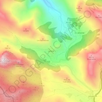
Name: La Peral topographic map, elevation, terrain.
Location: La Peral, Asturias, 33840, España (43.02383 -6.26948 43.06383 -6.22948)
Average elevation: 4,918 ft
Minimum elevation: 3,225 ft
Maximum elevation: 6,421 ft