
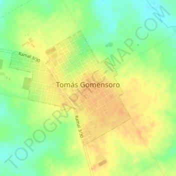
Tomás Gomensoro topographic map
Interactive map
Click on the map to display elevation.
About this map
Name: Tomás Gomensoro topographic map, elevation, terrain.
Location: Tomás Gomensoro, Artigas, 55002, Uruguay (-30.43978 -57.44905 -30.42220 -57.42737)
Average elevation: 299 ft
Minimum elevation: 236 ft
Maximum elevation: 341 ft