
Redwoods topographic map
Interactive map
Click on the map to display elevation.
About this map
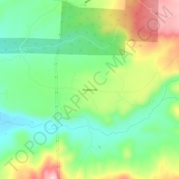
Name: Redwoods topographic map, elevation, terrain.
Location: Redwoods, Shasta County, California, USA (40.57627 -121.95555 40.61627 -121.91555)
Average elevation: 1,955 ft
Minimum elevation: 1,634 ft
Maximum elevation: 2,474 ft